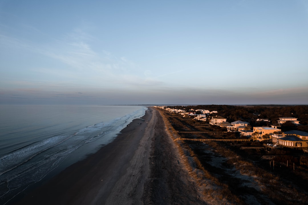
Dare County commissioners voted to remove the Flock Safety license plate reader cameras that the Sheriff’s Office had installed across the county — and if you’re buying or selling property on the Outer Banks, that vote is worth understanding, even if it doesn’t sound like a real estate story at first.
Let me explain why I think it is one.
What Happened and What It Means Beyond the Politics
The Flock cameras — automated license plate readers mounted at key access points — had been operating as a passive surveillance network, logging plate numbers and timestamps as vehicles moved through the county. The Sheriff’s Office used them as an investigative tool. Commissioners pushed back, citing privacy concerns, and voted to have them removed.
That’s the headline version. The real estate version goes a little deeper.
Dare County has one geography that almost no other county in North Carolina shares: a single road in and a single road out for most of it. NC-12 runs the length of the Banks the way a dock runs a channel — linear, exposed, and with no redundancy if something goes wrong. If you’re on Hatteras Island, you are there until the road or the ferry says otherwise. That physical fact shapes everything about property values, rental logistics, insurance exposure, and emergency response, and it makes access-point monitoring both more logical and more sensitive than it would be in a mainland county with four or five routes out.
The cameras were positioned to capture exactly that bottleneck geography. Their removal doesn’t change the roads. It changes what’s being recorded about who uses them and when.
For buyers, the question isn’t really “are the cameras good or bad?” That’s a policy debate for county residents to have. The question is: what does local governance around infrastructure and public safety tools tell you about how this county manages its unique vulnerabilities?
Why Surveillance Infrastructure Catches Buyers Off Guard
Most people buying on the Outer Banks focus on flood zones, rental income projections, and insurance costs — all of which are legitimate. But local public safety infrastructure tends to drop out of the conversation entirely, which I’d argue is a mistake.
I’ve sat with buyers at the Manteo waterfront who asked detailed questions about elevation certificates and couldn’t tell you who their county sheriff was or how emergency communications actually worked in a storm. There’s an entry in the handbook on emergency communications backup systems and Outer Banks property resilience that covers the gap most buyers don’t think to ask about until they’re already under contract and it’s too late to price it in.
The Flock camera removal fits into the same category of overlooked infrastructure questions. Not because the cameras themselves are a buying criterion, but because the debate around them surfaces real things:
- How does the Sheriff’s Office track vehicle movement into and out of isolated communities?
- What tools does the county rely on for after-the-fact investigation in areas with limited officer presence?
- Who’s making decisions about public safety technology, and are those decisions durable or subject to reversal in the next election cycle?
None of those questions have a straightforward price attached. But they’re worth asking.
What This Looks Like From a Property Due Diligence Standpoint
Here’s how I’d frame it as a practical checklist if you’re evaluating property anywhere in Dare County right now:
-
Pull the county board meeting minutes — not just the vote summary. The debate around the Flock cameras included discussion of how the Sheriff’s Office handles evidence retention, data sharing with other agencies, and cost allocation. That context tells you something about how the county approaches difficult infrastructure decisions.
-
Ask about local crime patterns — specifically in the community you’re buying into. Corolla, Duck, Nags Head, Hatteras Village, and Ocracoke all have very different profiles. What works for the northern beaches may be irrelevant for someone buying on Hatteras Island.
-
Understand the seasonal dynamic. The Outer Banks runs maybe 50,000 to 65,000 people in peak summer season and drops to a fraction of that in the off-season. Law enforcement resources, response times, and surveillance tools all flex around that curve. Removal of a passive monitoring system hits differently in January than it does in July.
-
Factor access risk into your offer on isolated properties. This isn’t new advice, but the Flock debate is a useful reminder. Any property south of Oregon Inlet should be priced with a clear-eyed view of what happens when the ferry schedule changes, the road floods, or emergency response is delayed. The Dare County Flood Inundation Mapping and Alert Network entry walks through the FIMAN tools that are actually filling some of the monitoring gap on the environmental side.
-
Check what other monitoring infrastructure remains. Traffic cameras, NCDOT road sensors, emergency alert systems — some of these are separate from what the Sheriff’s Office operates, and the Flock removal doesn’t touch them. But knowing what’s still in place is worth confirming with county staff before you assume the answer.
The Bigger Picture on Dare County Governance
What I notice when I watch Dare County commissioners make a decision like this is that they’re governing a place with almost no margin. No redundant road system. No redundant ferry system. Flood risk that’s tracked and mapped because it has to be. A population that more than triples in summer and then contracts back to a tight-knit year-round community that has real opinions about surveillance, property rights, and who gets to move through their neighborhoods.
The camera vote wasn’t just a tech policy argument. It was a county deciding what kind of monitoring is acceptable on the only road that connects you to the rest of North Carolina. That’s a specific and consequential thing.
If you’re buying out there, you’re buying into that governance environment as much as you’re buying into the view. I’d read the vote and what preceded it as part of your research — not because it changes the listing price, but because it tells you something true about the place.
What to Do Next
Get the meeting recording or minutes from the Dare County Board of Commissioners session where this vote occurred — it’s public record, and the discussion leading up to the vote is more informative than the vote itself. Then cross-reference with the Sheriff’s Office to understand what monitoring infrastructure they’re still operating and how gap coverage is being handled. If you’re buying in a community south of Oregon Inlet, I’d add a direct conversation with a local property manager about what off-season incidents look like and how response times have tracked in recent years. That conversation will tell you more than the county’s press release ever will.