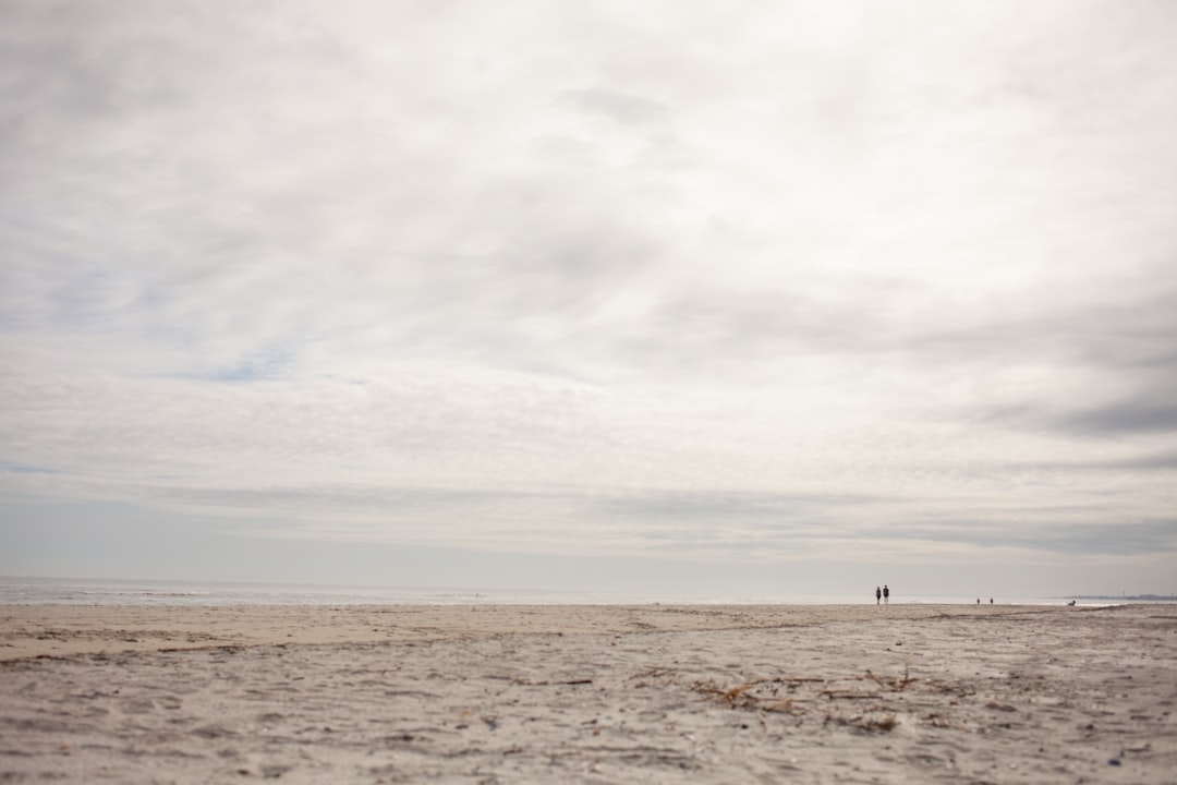
The last time I ran a charter out past Cape Point, I watched a group of clients spend twenty minutes arguing over which strip of sand was “the real beach” because the shoreline they’d seen in photos didn’t quite match what was in front of them. That’s Buxton for you. The beach moves. It always has. The difference now is that there’s a federally funded project actively trying to slow down that movement, and it’s sitting at roughly the halfway point.
That matters if you’re looking at property anywhere along that stretch of Hatteras Island.
Where the Project Stands
The Buxton beach nourishment project — part of an ongoing effort pairing sand placement with groin repair work — has placed a substantial volume of sand along the oceanfront near the Cape Hatteras National Seashore area. Last I checked, the contractor had moved through roughly half the planned placement zone, working the shoreline in sections the way you’d work a tidal passage in stages rather than all at once.
The project isn’t just a sand dump. The groin repairs running alongside it are meant to help hold that placed sand longer than it would otherwise stay put. Without some structural help, nourished beaches on the Outer Banks can lose meaningful volume inside of two or three storm seasons. The groins are the retention strategy. The sand is the visible result.
If you want the deeper engineering history behind why this shoreline has needed repeated intervention, the decades of shoreline engineering entry on Buxton Beach is worth reading before you get deep into any purchase conversation out here.
What Halfway Actually Means for a Buyer
This is where I’ll be direct: halfway done is not the same as done. A project at the midpoint is a project that still has completion risk — weather delays, funding interruptions, equipment issues. I’ve seen dredging projects on the Carolina coast sit idle for weeks when a contractor had to reposition equipment after a nor’easter.
For a buyer looking at an oceanfront lot or a first-row cottage in Buxton right now, the relevant questions are:
- When is full completion expected? Get a current timeline from Dare County or the Army Corps project contact — not from a listing description.
- What’s the post-project monitoring period? Nourishment projects typically include a monitoring phase. How long, and who’s responsible?
- Is there a maintenance trigger? Some projects include provisions for follow-up placement if the beach drops below a certain width within a defined window.
- How does completion affect your flood insurance base flood elevation? It may not change it at all, but worth confirming with your agent before you close.
On that last point: wind and flood insurance on Hatteras Island is genuinely expensive. Depending on the property’s elevation and flood zone designation, I’ve seen combined annual premiums run anywhere from roughly $6,000 to well over $12,000 for an oceanfront home, though those numbers shift and you’ll want a current quote tied to a current elevation certificate for any specific property. The Dare County flood inundation mapping entry lays out how the county’s monitoring systems interact with flood risk assessments, and it’s relevant reading if you’re not already comfortable with how flood zones get assigned and revised.
The Setback Question
Hatteras Island has specific CAMA setback requirements for oceanfront development, and those setbacks are calculated relative to the first line of stable natural vegetation — not to the post-nourishment waterline. That distinction matters more than most buyers realize.
A freshly nourished beach may look wider than it did eighteen months ago. It probably is. But the regulatory setback baseline doesn’t necessarily shift with the new sand. As of current mapping, oceanfront setbacks in North Carolina for most structures run at a minimum of 60 feet from that vegetation line, with larger structures facing a multiplier applied to the erosion rate. Worth confirming the applicable setback for any specific parcel with the NC Division of Coastal Management before you get emotionally attached to a lot.
Also worth noting: if you’re considering a property that currently sits close to the ocean, a nourishment project adds sand in front of you but doesn’t change your FEMA flood map designation overnight. Map amendments take time and paperwork.
Reading the Beach Like a Chart
When I used to brief clients before a passage through an inlet, I’d tell them the chart shows where the channel was last surveyed — not necessarily where it is today. Nourished beaches work the same way. The project maps and the progress reports tell you where the sand was placed. The next nor’easter will start editing that picture.
That’s not a reason to walk away from Buxton. It’s a reason to buy with eyes open. The Cape Point area has drawn buyers for decades precisely because it’s dynamic, dramatic, and genuinely beautiful. What the nourishment project gives you is a bit of additional runway — more beach width, better protection for the dune system, a slightly longer timeline before natural erosion reasserts itself.
The Buxton beach nourishment and groin repairs entry covers the mechanics of how this kind of coastal engineering interacts with property values and insurance underwriting in more detail. Read it alongside any inspection report you receive.
Your Next Step
Before you make an offer on anything oceanfront in Buxton right now, call the project contractor or Dare County’s engineering contact and get a straight answer on the completion timeline and the post-project monitoring plan. Then pull a current elevation certificate — not one from three or four years ago — and run it by a flood insurance specialist who actually writes policies on Hatteras Island. The elevation certificate is the document that drives your flood insurance premium, and on a property like this, a few tenths of a foot of elevation difference can mean a significant dollar swing every year.
Sand is bought time. Know exactly how much you’re buying.