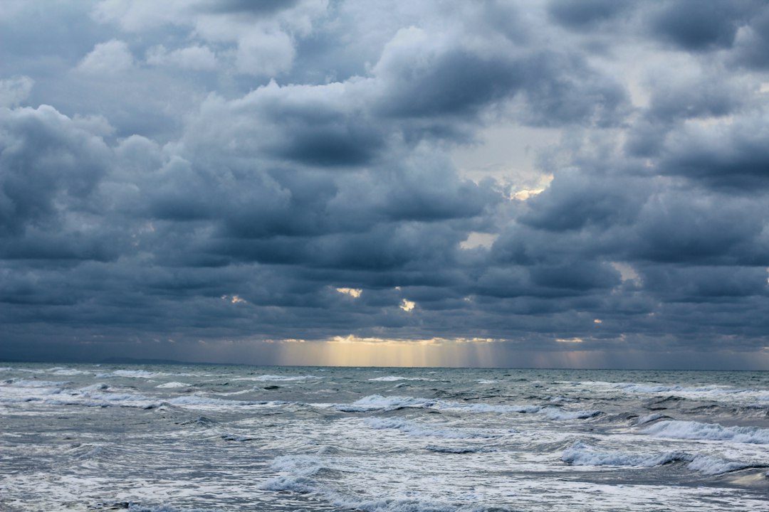
Dare County real estate has a specific kind of reckoning that buyers from inland markets rarely anticipate. It’s not the storm itself — it’s the week after, when NC 12 is underwater somewhere between Rodanthe and Salvo, a nourishment project has gone on hold because the dredge pipe had to be pulled, and the only way onto Hatteras Island for anyone not already there is a ferry running on a modified schedule. That’s the moment a property’s livability and rental economics get tested, and most listing sheets don’t mention it.
I’ve run charters out of Beaufort and done deliveries up through Oregon Inlet. I know what this stretch of barrier island looks like from the water when a coastal low has been parked offshore for three days. The dunes shrink. The overwash fans spread across the asphalt. And somewhere in a NCDOT operations center, someone is deciding whether to pump the road or just wait for the tide to drop.
If you’re buying in Dare County — Hatteras Island, Rodanthe, Avon, Buxton, Ocracoke, or even the northern beaches around Duck and Corolla — you need to understand these dynamics before you’re under contract, not after.
NC 12 Is the Whole Game
There’s one road onto and off of Hatteras Island. One. NC 12 runs the full length, and it has a documented history of flooding, overwash, and outright closure after storms that don’t even make the national news cycle. A nor’easter in October, a tropical low that stays offshore for 48 hours, a king tide combined with onshore wind — any of these can shut the road.
NCDOT has done serious work on the Rodanthe to Salvo corridor, including phased bridge construction to take the most vulnerable sections off the ground. But as of the last time I checked the project schedule, there are still at-grade stretches that go underwater before the surge tops the dunes. The county has been working to speed up the NC 12 pumping response after a notable flooding event proved the existing setup was too slow. Worth reading if you’re serious about a Hatteras Island purchase — it gives you a sense of how seriously Dare County is taking response time, and where the gaps still are.
For buyers, the road question translates into practical risks:
- Rental income disruption: A closure during peak summer season can void a week’s rental that’s already been booked
- Contractor access: Post-storm repairs can’t happen if the contractor can’t get to the property
- Emergency egress: If you’re planning to use this as a primary or part-time residence, you need to know how far in advance NCDOT typically issues evacuation orders and what that means for your plans
NCDOT typically posts closure warnings through its travel alert system, and Dare County’s flood inundation mapping gives buyers a useful preview of which zones flood fastest and how alerts work in real time.
Beach Nourishment Delays and What They Mean for Your Lot
The Buxton beach nourishment program has been one of the more active projects on the Outer Banks over the past few years — groins, dredging, sand placement along the oceanfront corridor south of the lighthouse. These projects run on a schedule that coastal storms treat as a suggestion. A storm approaching while a dredge is actively pumping means the pipe comes out, the equipment repositions or shelters, and the project timeline slides.
That matters to buyers for a few specific reasons.
First, if you’re buying an oceanfront or near-oceanfront lot in Buxton, Avon, or Rodanthe, your setback and CAMA permit situation may be tied to the current state of the beach profile. A nourished beach looks wider on paper. A storm that hits before the sand is stabilized can take that buffer back fast, and the next permit cycle may reflect a narrower usable beach.
Second, the investment in nourishment does protect property values in the immediate area, but it’s not permanent. Sand placed on a barrier island moves. The question isn’t whether it will erode — it will — but at what rate and whether the county and federal partners can keep pace with replacement funding. As of my last check, federal cost-share agreements for Dare County nourishment projects require periodic renewal, and those renewal windows are not guaranteed. The history of shoreline engineering at Buxton beach is worth reading before you assume the beach you’re buying next to will look the same in ten years.
The Insurance and Elevation Math
Storm closures are inconvenient. Flood damage is expensive.
Dare County properties in the AE and VE flood zones — and a significant number of them are — carry NFIP base flood elevations that determine both building requirements and insurance costs. As of recent figures I’ve seen, NFIP premiums under Risk Rating 2.0 for a VE-zone home on Hatteras Island can run anywhere from $3,000 to $10,000 annually depending on structure type, elevation above BFE, and coverage limits. That’s a wide range, and the spread exists for a reason: elevation relative to BFE is the single biggest variable.
I wouldn’t close on a lot in Rodanthe or Salvo without a current elevation certificate in hand. Not because the county requires it for the transaction — they don’t always — but because that certificate tells you where you actually stand relative to the flood map, and it’s the document your insurance agent needs to quote you an accurate number. Don’t let anyone tell you to get it after closing.
A few things worth confirming before you go under contract in Dare County:
- Current FEMA flood zone designation — and whether any LOMA (Letter of Map Amendment) has been filed for the property
- Elevation certificate date — anything older than five years on a storm-active beach should probably be re-certified
- Wind insurance deductible — in Dare County, wind deductibles on private policies often run 1–5% of insured value rather than a flat dollar amount; on a $600,000 home, a 2% deductible is $12,000 out of pocket before the policy kicks in
- Rental income interruption coverage — if the property is rented and NC 12 closes for a week during peak season, does your policy cover lost rental revenue?
What a Storm Season Looks Like from the Buyer’s Side
Here’s what I’d tell anyone thinking about an Outer Banks purchase who hasn’t experienced a season here yet.
Between June and November, you’re watching the tropics the way a sailor watches a barometer. A named storm doesn’t have to make direct landfall to cause a closure on Hatteras Island — a brush from a Category 1 offshore, a stalled tropical depression, a fast-moving nor’easter in October can all produce enough surge and overwash to take NC 12 down for two to five days. That’s not a worst-case scenario. That happens in ordinary years.
The Dare County real estate market prices some of this in, but not all of it. Oceanfront and first-row homes are priced at a premium that reflects their location, not always their exposure. A house that’s been on Airbnb for eight seasons and has strong rental history is still subject to a week getting wiped out by a closure — and that week might be the one with the most bookings.
None of that means don’t buy. The Outer Banks has something no inland market can replicate, and buyers who understand the risk profile make better decisions than buyers who don’t. But go in with your eyes open.
What to Do Before You Make an Offer
Concrete steps, in roughly the order they matter:
- Pull the property’s flood zone and confirm BFE with a current elevation certificate
- Ask the listing agent for any documentation of past storm damage or insurance claims — NC sellers are required to disclose known material defects, but proactively asking gets you further
- Check NCDOT’s project page for any active or planned NC 12 work that affects the area around the property
- Run the rental history against storm records from the past three to five seasons and see if there are gaps that line up with closures
- Talk to a local insurance agent — not a national call center — about real wind and flood quotes before you make an offer; the numbers matter for your cash flow analysis
- Visit during shoulder season, ideally after a significant rain event, to see how the roads and the property’s drainage actually perform
The Outer Banks rewards buyers who take the time to understand what they’re dealing with. It has a way of humbling everyone else.