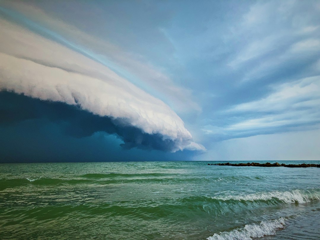
Every time a coastal storm lines up on the N.C. 12 corridor, I get the same reminder I used to get running charters past Cape Point: there’s exactly one way in, and exactly one way out. On the water, you manage that reality or you stay in the slip. On Hatteras Island or between Rodanthe and Nags Head, you don’t always get to choose.
When NCDOT issues a warning that N.C. 12 closures are possible as a storm approaches the Outer Banks, that’s not just a traffic advisory. For anyone who owns property — or is considering buying property — anywhere along that 70-mile ribbon of pavement from Whalebone Junction to Ocracoke, it’s a material fact about what you own.
What a Closure Actually Means for Property Owners
A storm-driven closure on N.C. 12 can come in layers. First comes a voluntary evacuation, then a mandatory one, then the road itself goes under. In the Rodanthe area especially — where the highway runs close enough to the ocean that you can hear the surf from the pavement — overwash events can deposit enough sand to block traffic within a few hours of a storm making its turn toward shore.
NCDOT’s standard procedure when a storm approaches is to alert drivers, stage equipment, and pre-position pumping resources. But even with those assets in place, the department is clear: if the storm delivers sustained inundation, they will close the road until it’s safe. No timeline guaranteed.
What that means in practice, for a rental property owner:
- Guests leave. Reservations get canceled. Revenue you counted on to cover the mortgage for August vanishes.
- Contractors can’t get in. Any storm damage you need to remediate — roof, siding, HVAC — waits for the road to reopen.
- Your insurance claim starts a clock. Some policies have time-sensitive damage-reporting requirements. If you can’t access the property, documenting the loss gets complicated fast.
- Resale negotiations stall. If you’re in the middle of a transaction during a closure event, inspectors and appraisers aren’t crossing that road either.
The Dare County Flood Inundation Mapping and Alert Network has gotten better in recent years at predicting exactly which segments are likely to flood first. Worth knowing that resource before you assume “it probably won’t hit my area.”
The Road and the Property Are Connected — Literally
There’s a reason NCDOT’s ongoing maintenance of N.C. 12 is a standing agenda item at the state level. This isn’t a highway that happens to run near the beach. It’s a highway that runs through a dynamic barrier island system that is actively narrowing in places, migrating, and losing elevation relative to sea level. Buxton, Avon, Salvo, Rodanthe — the road serving all of them is, in some stretches, within the CAMA setback envelope or close to it.
The beach nourishment and groin work at Buxton has helped stabilize some of the most vulnerable stretches, and the Buxton beach nourishment project nears halfway mark represents real investment in keeping that corridor viable. But nourishment isn’t permanent. Sand moves. And the storm that prompts an NCDOT closure warning doesn’t care about the project schedule.
When I’m talking with a buyer who’s looking at a property between Rodanthe and Hatteras village, I tell them straight: you are buying into a place where the access road is also a weather indicator. If you’re not comfortable with that, the Outer Banks is probably not the right market for you. If you are comfortable with it — if you understand the tradeoff and you’re pricing it accordingly — then let’s talk.
What Buyers Should Actually Check Before They Close
Here’s where I get specific, because this is a handbook and not a conversation at the bar.
Documents and records
- Flood zone designation and current elevation certificate. I wouldn’t close on a property in the N.C. 12 corridor without a current one. As of what I’ve seen recently, NFIP policies in AE zones on Hatteras Island are carrying annual premiums that can run anywhere from around $1,500 to well over $4,000 depending on the structure and elevation — worth confirming with a current quote, not a listing sheet estimate.
- Historical closure data for the specific road segment near the property. NCDOT and Dare County have records. Ask for them. A property in Rodanthe near the old breach site is different from one in Buxton.
- Rental income history that spans a major storm season. If the seller’s rental history skips the year a big storm hit, that’s not an oversight.
- Insurance deductible structure for wind and named storms. On the Outer Banks, last I checked, named storm deductibles typically run 1–5% of the insured dwelling value. On a $700,000 property, that’s $7,000 to $35,000 out of pocket before insurance pays a cent.
Questions to ask directly
- Has this property ever been inaccessible for more than 72 hours due to a road closure?
- Has the seller ever had to cancel confirmed rental reservations because of N.C. 12 conditions?
- What is the property’s elevation relative to the road grade at the nearest known overwash point?
The NCDOT Warning Is a Feature, Not a Surprise
Some buyers hear “NCDOT warns of possible N.C. 12 closures” and treat it like breaking news. It isn’t. NCDOT issues these warnings because closures are a known, recurring condition of barrier island geography. The department has been managing this stretch for decades, and the Dare County works to speed N.C. 12 pumping response after flooding events shows that response capability is improving. But improvement isn’t elimination.
Think of it like a vessel with a known tendency to hobby-horse in a beam sea. An experienced skipper still takes her out — they just know the condition, they monitor it, and they’ve got a plan when it gets rough. An uninformed buyer who discovers the habit mid-passage is in a much worse position.
The Outer Banks market has real strengths — rental demand, a loyal repeat-visitor base, barrier-island character you can’t replicate in a mainland neighborhood. Those strengths are real. So is the single-road reality.
Your Next Step
Pull up the NCDOT Traveler Information map for N.C. 12 and bookmark it. It shows current closure status in real time. Then get the address of any property you’re seriously considering, identify the nearest historically vulnerable segment, and ask your agent or Dare County for closure records on that specific stretch for the past five years. You want that information before you’re negotiating a purchase price, not after you’ve already gone under contract.