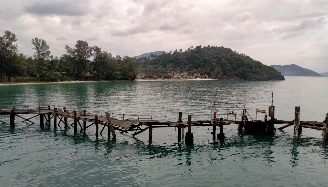
When someone buys a property specifically because it sits next to a public boat landing, they usually have a clear picture in their head: controlled access, a defined footprint, a neighbor that doesn’t grow or change without going through the proper channels. What they don’t always anticipate is the county deciding to expand or alter that landing — clearing trees, grading new areas, installing ramps or parking — and doing it without the kind of environmental review or adjacent-owner notification that the original subdivision approval was built around.
That’s the situation that ends up in court. And it’s been happening more than once along the Carolina coast.
What a Subdivision Plat Actually Promises — And What It Doesn’t
When a developer subdivides land and records a plat, that plat creates more than lot lines. It can dedicate areas for specific uses, establish buffers, and sometimes formally restrict what adjacent public land can do. If the county or state accepted a dedication of a boat landing as part of that approval process — or if the plat shows specific dimensions and uses — some owners reasonably assume that the landing will stay within those dimensions and those uses.
The trouble is, counties and municipalities often treat public boat landings as infrastructure they can improve over time without triggering the same permitting gauntlet that private development would face. Add pilings, extend a ramp, clear a parking area — these feel like maintenance to the agency doing the work and feel like unilateral expansion to the homeowner next door.
North Carolina’s CAMA (Coastal Area Management Act) permits are supposed to catch major work in Areas of Environmental Concern. But what qualifies as “major” is a judgment call that doesn’t always go the direction adjacent owners expect.
The Typical Complaint Pattern
Lawsuits like this tend to follow a recognizable arc. Worth walking through it, because it shows up whether the landing is on a tidal creek outside of Beaufort, a sound-side ramp in Dare County, or a river landing off the Brunswick County mainland.
- County or municipality undertakes work — clearing vegetation, grading, expanding parking, or adding a launch ramp — at an existing public water access site.
- Adjacent property owner objects, arguing that the work exceeds the scope of whatever approval or dedication originally created the landing.
- The owner claims injury — loss of the buffer they purchased expecting, increased traffic, environmental damage to their shoreline, or violations of the subdivision’s recorded restrictions.
- The legal theory varies: it might be a claim that the county violated the original subdivision approval conditions, a constitutional takings argument, a challenge to the adequacy of the environmental review, or all three stacked together.
- The county’s defense is typically that public infrastructure improvements don’t require the same consent or review as private development, and that the landing was always public property subject to public management.
How these resolve depends heavily on what the original plat and dedication documents say — and those documents are often decades old, vague in the ways that old documents tend to be, and interpreted differently by every party involved.
What Buyers Need to Check Before Closing on Lots Adjacent to Public Access
I wouldn’t close on any lot that shares a boundary line with a public boat landing, boat ramp, or county water-access parcel without doing this first.
- Pull the original subdivision plat. Look for any notations about buffer widths, restrictions on adjacent public land, or conditions tied to the dedication.
- Request the county’s current master plan or CIP (capital improvement plan) for that water access site. If there’s a planned ramp extension or parking expansion already in the queue, that’s worth knowing before you sign anything.
- Check CAMA permit records for the site. The NC Division of Coastal Management’s online search is a reasonable starting point, but confirm with the local DCM office. Active or recently issued permits for work at that landing tell you something is already moving.
- Ask about any recorded easements running across your prospective lot to that landing. Foot traffic, boat trailer routes, and overflow parking have a way of wearing paths across private land when public access is nearby.
- Talk to someone who’s been watching the water there. I’m not being folksy. The harbormaster at the nearest marina, a neighbor who’s been on the dock for ten years — they’ll know if the county has been eyeing that ramp for improvements. Official plans don’t always move as fast as the conversations that precede them.
This kind of due diligence connects to a broader pattern worth understanding — the Brunswick County stormwater permit overturns and coastal development risk context shows how county-level infrastructure decisions can shift the ground underneath what looked like a settled approval.
Why Environmental Lawyers Sometimes Get Involved
When a county expands a boat landing near a tidal shoreline and skips over the normal review process, it’s not just the adjacent homeowner with a grievance. Environmental lawyers have challenged these projects on grounds that the county underestimated impacts to shellfish beds, wetlands, and water quality — the kind of concern that showed up explicitly in the oyster impact dispute along the Brunswick coast.
Those two threads — the aggrieved adjacent owner and the environmental challenge — often run in parallel, and sometimes they pull in the same legal direction. The result is a county project that’s administratively halted or remanded for additional review, which might vindicate the objecting homeowner or might just delay the inevitable.
From a real estate standpoint, either outcome is a flag. A property sitting next to a landing that’s already the subject of active litigation has a cloud over it that affects title insurance, future financing, and resale. Not a deal-killer by itself, but a reason to understand exactly what the dispute is about and where it stands before you commit.
What to Actually Do with This Information
If you’re looking at a waterfront or near-water property that shares a boundary with any public boat access — a county ramp, a state-maintained landing, even a municipally-owned fishing pier — start with the Register of Deeds for the original subdivision documents and plat. Then pull any CAMA permits for the adjoining public parcel. Call the local DCM field office and ask whether any applications for that site are pending. Check the county’s capital improvement budget, which is usually a public document.
None of that takes more than a couple of hours. It’s a lot less than the time you’d spend as a plaintiff in a lawsuit over something you could have spotted before you bought the lot.